These trails should be rode with someone who has knowledge of the trails or with a GPS.
It is easy to get turned around and lost. Be careful and have fun.
Special thanks to Alan Crockett and friends who helped create and map these trails.
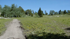
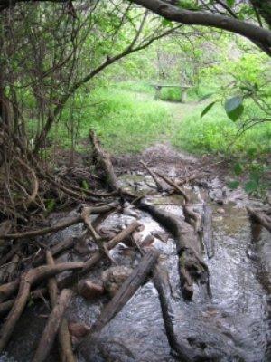
The fish creek loop is a mix of single track, old road two track and some new single track trail. This is a great trail and has some fun down hill and some good climbs in it.
Difficulty-Medium to hard
Trail distance 10 mile loop
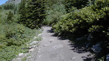
This is one of the most popular trails in the state land area. It has something for everyone, great climbs, great down hill and some of the best single track any were. This trail has some technical areas and super fast decent. Have fun and enjoy.
Difficulty-Medium to hard
Trail distance 13 mile loop
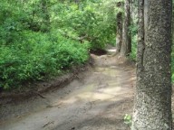
The Cow path loop is a mix of single track, old road two track and some new single track trail. This is a great trail and has some fun down hill and some good climbs in it.
Difficulty-Medium to hard
Trail distance 10 to 14 miles
Stinking Springs/Sidewinder
The Stinking Springs Multiple Use Trail is a designated route for OHV/ATV riders, hikers, mountain bikers, and horseback riders. Around 10,000 visitors use the area each year. It is seasonally closed to accommodate wintering mule deer. In other seasons, this critical winter habitat also offers desert hiking in sparsely timbered canyons, continuing through the Targhee National Forest.
Located approximately 10 miles from Kelly Canyon Ski Area and can be accessed from Forest Service Road #218 (Kelly Canyon) and taking Forest Service Road #651 (Moody Swamp) to the trail head. Thousand Springs #077, 3 miles long, is a motorized trail. Connecting trails are Hilton Creek #067 (motorized), Prospect Peak #121 (motorized), and Castle Lake #076 (motorized).
Difficulty-Easy to hard
Located approximately 3 1/2 miles from Kelly Canyon Ski Area and can be accessed by taking Forest Service Road #206 (South Fork Snake). Wolverine Creek #082, 3.3 miles long, is a motorized trail. This trail will connect you to Forest Service Road #218 (Limekiln Canyon) or you could take Morning Glory Mine #139 (motorized) to Forest Service Road #342 (Morning Glory Mine).
Difficulty-Medium to hard
Trail head is located at the Table-rock campground which can be accessed by taking Forest Service Road #217 (Table Rock Canyon). Hawley Gulch #031, 2.5 miles long, is a motorized trail. This trail will connect you to Forest Service Road #218 (Limekiln Canyon) or you could take the connecting trail Lookout Mountain #131 (motorized) to the top of Lookout Mountain.
Difficulty-Medium to Hard
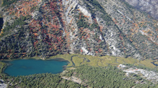
Located approximately 6 miles south of Swan Valley, ID and can be accessed by taking Hwy 26 to County Road 255 to the trailhead. Lower Palisades Creek # 084, 5.7 miles long, is a non-motorized trail. This trail offers wildlife viewing as well as taking you to the Lower Palisades lake and the connecting trail of Upper Lake Bench #163 which will take you to the Upper Palisades Lake. Upper Palisades Creek #085, 3.1 miles long, is a non-motorized trail. Fishing from the Lakes is a popular recreation for hikers and Day Users. Connecting trails are Lake Canyon #206 (non-motorized), Chicken Spring Canyon #153 (non-motorized), Upper Lake Bench #163 (non-motorized) and Ice Cove #093 (non-motorized).
Difficulty- Hard
The Ashton-Tetonia Trail is Idaho’s newest State Park. This is a 29-mile mountain bike route on the old railroad bed that runs between Ashton and Tetonia. The recommended riding direction is from Ashton to Tetonia so the Tetons are usually in view. Technically this is riding in the up hill direction but you will never notice the 800 ft rise in the 29 miles. A real trailhead has yet to be developed in Ashton but parking is available on both sides of the Marysville Road where the trail crosses it (grain silos on the south side). The trail has many bridges and 3 high trestles which are rather spectacular. Much of the bed was in good condition for riding without improvement and the section near Tetonia has been improved. There is still a bumpy, grassy section that should be improved next year. The route is closed to motorized use during the summer but open to snowmobiles in the winter. The State is still working to acquire one short section of the rail bed so there is a temporary 1.4 mile detour on the route (please respect private property rights).
Harriman State Park is 18 mi. N. of Ashton, Idaho on Hwy. 20 or 45 mi. S. of West Yellowstone on Hwy. 20. The park entrance is located on the west side of Hwy. 20.
Harriman State Park lies within an 11,000-acre wildlife refuge in the greater Yellowstone Ecosystem. Moose, Elk, and Sandhill Cranes are common, as is North America's largest waterfowl, the Trumpeter Swan. Known as one of the best fly-fishing streams in the nation, the Henrys Fork meanders for eight miles through Harriman. Over 20 miles of trails are available for hiking, biking, horseback riding, and cross county skiing.
Difficulty- Easy to hard
City Creek, Kinport Mountain, and Cusick Creek:
If you are starting from the ISU campus, you can get to this area by following Fifth Avenue north, which is a one way road. Turn left on Benton two to three blocks from campus. Drive west on Benton Street until reaching South Grant. Turn south (left) on South Grant until you come to an L.D.S. Church. Just to the east of the church is a small park (Centennial Park) where riders can park and fill water bottles. The City Creek trail head is south of the L.D.S. Church just beyond the chain link fence.
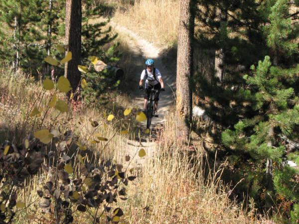
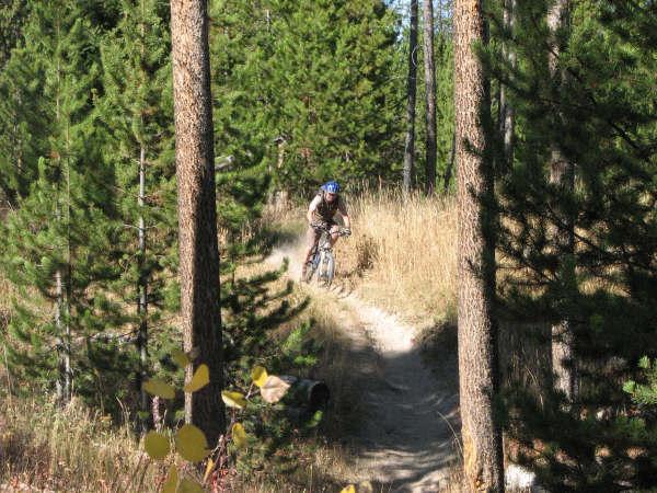
Begin the ride by following the trail along the City Creek riparian zone. You'll be heading in a westerly direction working your way up to the base of Kinport Mt. The trail is a great single track and used frequently by other riders. Some sections of the trail offer technical riding avoiding roots, rocks, and worn shoulders. At times it pops out onto a gravel road, but just look for places to get back on the single track in the trees. About a mile and a half up the trail there is an intersection. Turn south to go up Kinport via Cusick Creek, the next drainage south of City Creek, or keep heading west to climb Kinport via City Creek. Turn north to get on the City Creek gravel road. Cusick Creek is a narrow service road which is more like two parallel single tracks. The route is somewhat rocky and steep in places. The scenery is great especially as you near the top of Kinport.
City Creek is a mix of single track and dirt road. Around a mile after the intersection the single track darts out onto the City Creek road. By this time the road is dirt and nice to ride on. When the road starts to switch back out of the City Creek drainage, you can either head up the road to summit Kinport or stay in the drainage following the creek along a nice single track. Eventually the trail diminishes. Turn around and enjoy the descent. In the higher elevations of City Creek you get into some beautiful pines and aspens. The trails are fairly smooth with occasional interuptions of rocks.
Difficulty & Distance:
City Creek--easy, about 3.5 miles.
Kinport Mountain--moderate (City Cr. approach), about 5.5 miles.
Cusick Creek--difficult, about 6 miles
From Pocatello follow the Old Bannock Highway south until you see the signs for the Mink Creek Recreation area. Numerous trails of Varios levels to choose from once you are up there.
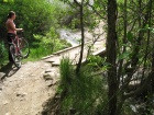
There are many trails in this area. Many are very fun loop trails in the 9-17 mile range. Most are composed of a mix of single and dual track.
Difficulty- Easy to hard
Horseshoe Canyon Mtn Bike Trails - West of Driggs
Some great single track and a blast to ride with great mountain views and beautiful meadows.